Introducing ATLYST
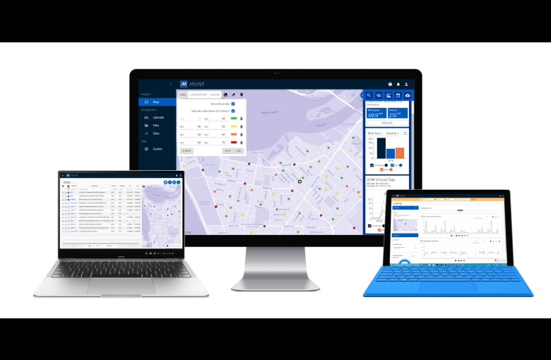
ATLYST allows you to:
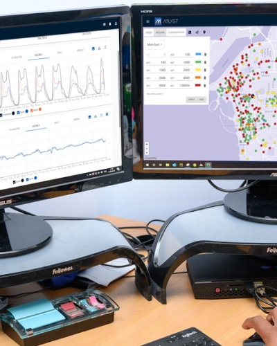
- Visualise data from multiple traffic monitoring sites on a map.
- Automate data validation & report generation.
- Quickly export data from every survey site into GIS formats.
- Easily download spreadsheet & PDF data reports.
- Securely archive historical traffic data files.
- Easily share & receive traffic data from neighbouring councils & governments.
- And much more.
Watch the videos below to understand how ATLYST works
Changing the traffic survey game around the world
ATLYST is already being used by dozens of organisations worldwide to streamline their survey management processes and simplify data analysis and sharing.
Some organisations include:
- The City of South Perth, Australia
- The Isle of Man, UK
- South Carolina Department of Transport, USA
- The City of Fremantle, Australia
- Roading Logistics LTD, New Zealand
- and many more.
How to start an ATLYST subscription
We’ve designed ATLYST to be economically beneficial for all organisation types. Your organisation’s subscription tier is defined by how many ATLYST users are required and how many traffic survey sites your organisation manages.
If you’d like more information about ATLYST, would like a free 1-month trial or to receive a quote, please give us a call.
Got a great MetroCount story? Share it with us and let the world know the great work you're doing in your community.
