Volume Data Only
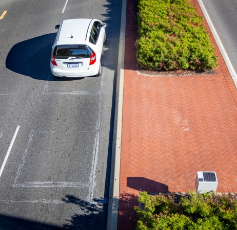
The RoadPod VL5805 is designed for projects requiring only volume data, using a single inductive loop per lane.
- Store up to 4 years of binned individual vehicle counts
- Fully configurable bin sizes, thresholds, and lockout times
- Straightforward installation
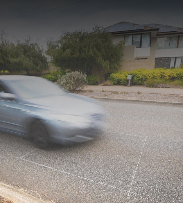
Rather not cut the road?
The RoadPod VM offers the same year-round data without requiring road cutting or grinding.
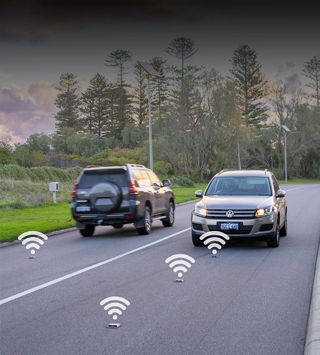
- Each magnetometer installed within 60 seconds
- Real-time individual vehicle data, including volume, speed and length-based classification
- Built-in redundancy for no data interruption
General
Hardware
Additional
Included
- RoadPod® VL Traffic Counter
- User Manual
- MTE® Software
Required add ons
- Field equipment for traffic studies
- Data communications cable
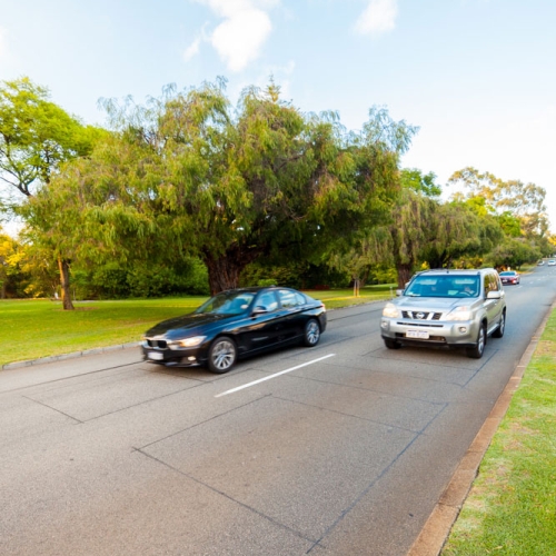
Traffic Data Collection with Induction Loops
Maintaining road infrastructure is critical as one of the most valuable assets managed by governments of all levels. Globally, the MetroCount systems are trusted to provide accurate and accountable statistics as part of the traffic data technology mix.
In this article, we examine different applications of the RoadPod® VL inductive loop counter. First, we investigate how the Falkirk Council (Scotland) uses tube sites to complement its permanent loop data, and then we explore retrofitting RoadPod VL counters to pre-installed magnetic loops in Cornwall with CORMAC Consultancy.

Canton Ticino: Inductive Loop Counters at Temporary Sites
Switzerland has a dense network of roads and railways. Most roads are municipal, but over 25% are managed by the 26 cantons. Only 2.48% are managed by FEDRO (Federal Roads Office). It's a road network under continuous renewal, where there are also plans to implement a pilot project for the first solar-roofed highway.
This magnificent landscape, marked by valleys with crystal-clear lakes, surrounded by snow-capped peaks, is not naturally suited for road traffic. Numerous bridges and tunnels have been built to facilitate transportation. In this context, we have collaborated with Canton Fribourg on various traffic optimisation projects that subsequently required the construction of new infrastructure.
We already had loops installed, thus we retrofitted the RoadPod VL to these sensors. They work very well, and we are very satisfied. To date, they have never given operational problems. Battery life is also good. The price/quality ratio is excellent compared to similar devices.